
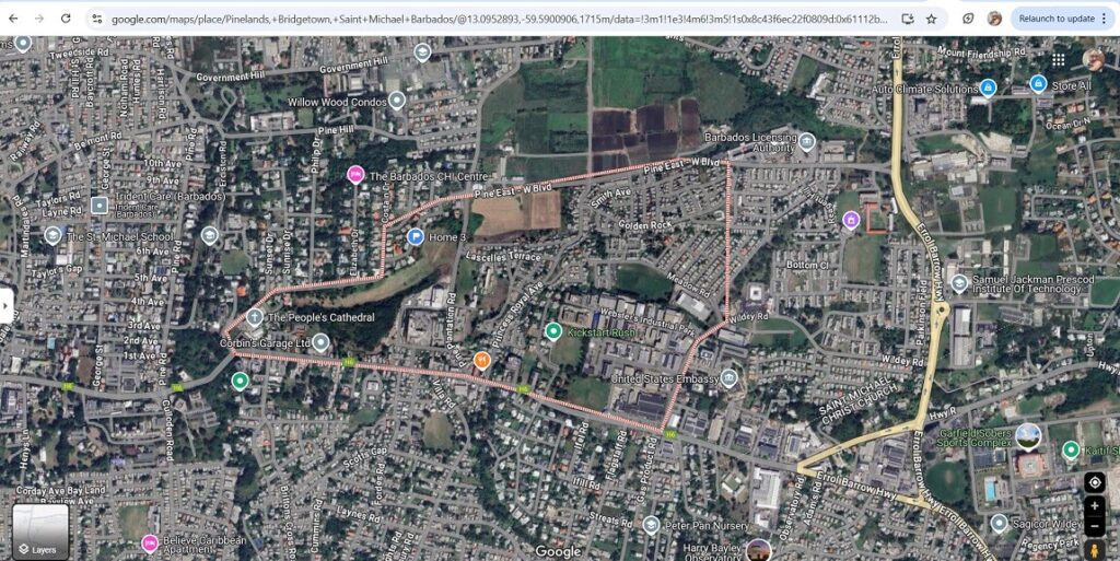
Pinelands, St. Michael (Source: Google Maps). I use The Pine and Pinelands interchangeably.
Last night I imported 2018 homicide records into the Barbados Homicide Database (still doing some data cleaning), bringing the total to 284 recorded homicides from 2018 to 2025.
(Quick reminder, my homicide information comes from what I manually collect from main stream media reports (i.e., NationNews, Loop, Barbados Today, Starcom Network) and The Barbados Police Service).
One thing that continues to stand out: St. Michael accounts for 149 of these homicides — over 52% of the national total. But where in St. Michael are these crimes happening?
While keying in the records, I started noticing a number of incidents in or around areas with the word “Pine” in the address — places like Pine Hill, Pine Plantation, Pine Road, etc. Was this just my imagination? Or was there a pattern?
So, I checked. It turns out that 11 of the 149 St. Michael homicides — or about 7.4% — occurred in locations where the word “Pine” appeared in the address.
That doesn’t necessarily mean these areas are statistically more dangerous — I’d need more data to understand population sizes, density, and other contributing factors. But it’s a pattern worth noticing, especially as I continue to build out the database and look for trends over time.
Visit the Barbados Homicide Database.