
So in my last post, a few hours ago, I wrote about Pine-related areas and how often they appeared in Barbados homicide data. This time, I took a similar look at Black Rock, another district in St. Michael that seems to come up repeatedly (at least, between 2018 and 2025).
(Quick reminder, my homicide information comes from what I manually collect from main stream media reports (i.e., NationNews, Loop, Barbados Today, Starcom Network) and The Barbados Police Service.)
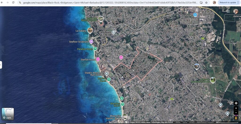
I ran a query on the Barbados Homicide Database, checking for records where the address field contains the words “Black Rock” and the parish is St. Michael. Here’s what I found:
- As we know from the last article, there have been 149 total homicides recorded in St. Michael between 2018 and 2025.
- Of those, 14 homicides vs. 11 for Pine-related areas, took place in areas where the address mentioned “Black Rock”.
- That’s 9.4%, vs 7.4% for PIne-related areas, in all St. Michael homicides, nearly 1 in 10 homcidies.
Again, as I mentioned with the Pine, It’s important to note that this doesn’t necessarily mean that “Black Rock” is the most dangerous area — but it does appear to stand out in the data.
As always, these are just patterns I’ve observed while maintaining and reviewing the homicide data. They are not conclusions, but rather an invitation for further analysis and conversation.